
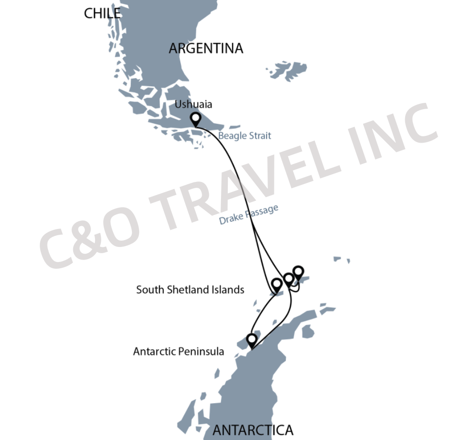
Go to the port on your own and board the Ocean Albatros with the assistance of the Albatros Expeditions expedition team.
After boarding the ship, along with a welcome drink, the expedition leader will give a boarding briefing, including an introduction to daily affairs on the ship and various safety procedures; then, all tourists must participate in safety drills on life safety at sea required by maritime supervision; then the captain will slowly sail the ship into the Beagle Channel.
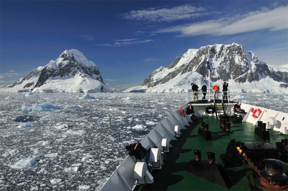
After a day and a half of sailing, we crossed the Drake Passage (considered the greatest lifetime achievement even for the world's bravest sailors). The Drake Passage is located in the strait between the South American continent and the Antarctic Peninsula. It is the junction of the Atlantic and Pacific Oceans and the place where the deepest warm and cold currents in the world meet. The famous "Antarctic Gyre" isolates warm ocean currents from Antarctica, preventing the huge ice sheet of the Antarctic continent from melting; it maintains strong westerly winds all year round. It is thanks to the protection of strong westerly winds that we can appreciate this unique landscape on earth.
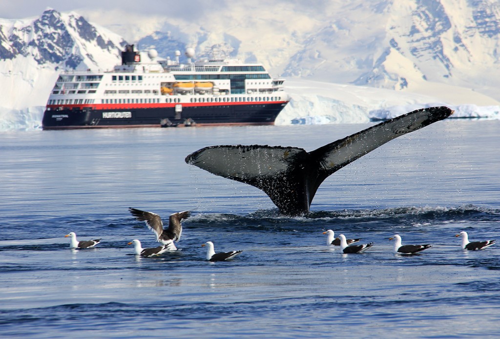
During the voyage, the captain, crew, hotel service team, and expedition team will be introduced to everyone on the ship; the Drake Strait is rich in marine biological resources, and the expedition team will also arrange some lectures on Antarctic biology, geology, sea ice, history, climate, environment, etc. during the voyage; while crossing the Drake Strait, you will gradually discover ice floes, icebergs, seabirds, whales, etc.
Itinerary:
Over the next two and a half days we will land in the South Shetland Islands(South Shetland Islands)。
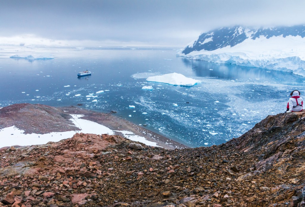
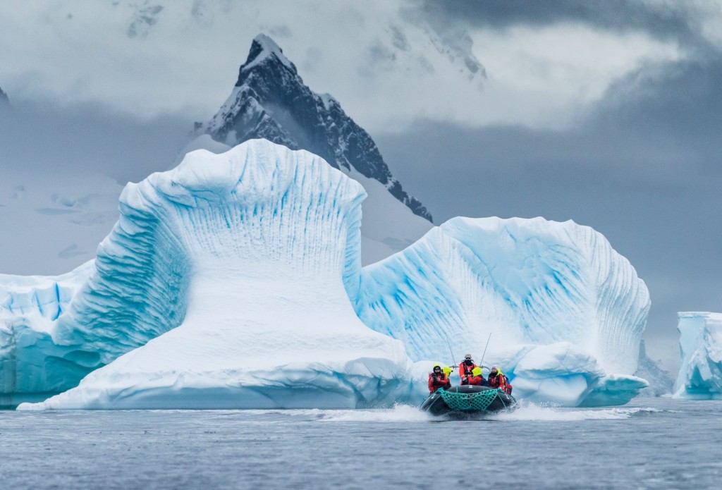
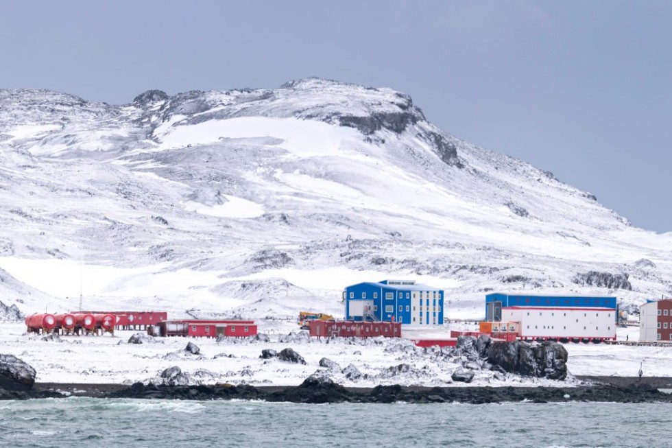
The wildlife-rich South Shetland Islands are located in the northern part of Antarctica and are home to numerous penguins, seals and breeding seabirds. Scientific research stations from many countries are located on the island. The history of the South Shetland Islands can be traced back to the whaling era. Penguins and seals live together in close harmony on the beach. Aboard the Zodiac we have the opportunity to meet whales, seals and other marine life.
The captain and expedition leader will arrange landing and cruise activities based on actual conditions such as time, weather, ice conditions, etc. The activity arrangements will be selected from the following locations. The final route and landing cruise activities will be decided by the captain and expedition leader:
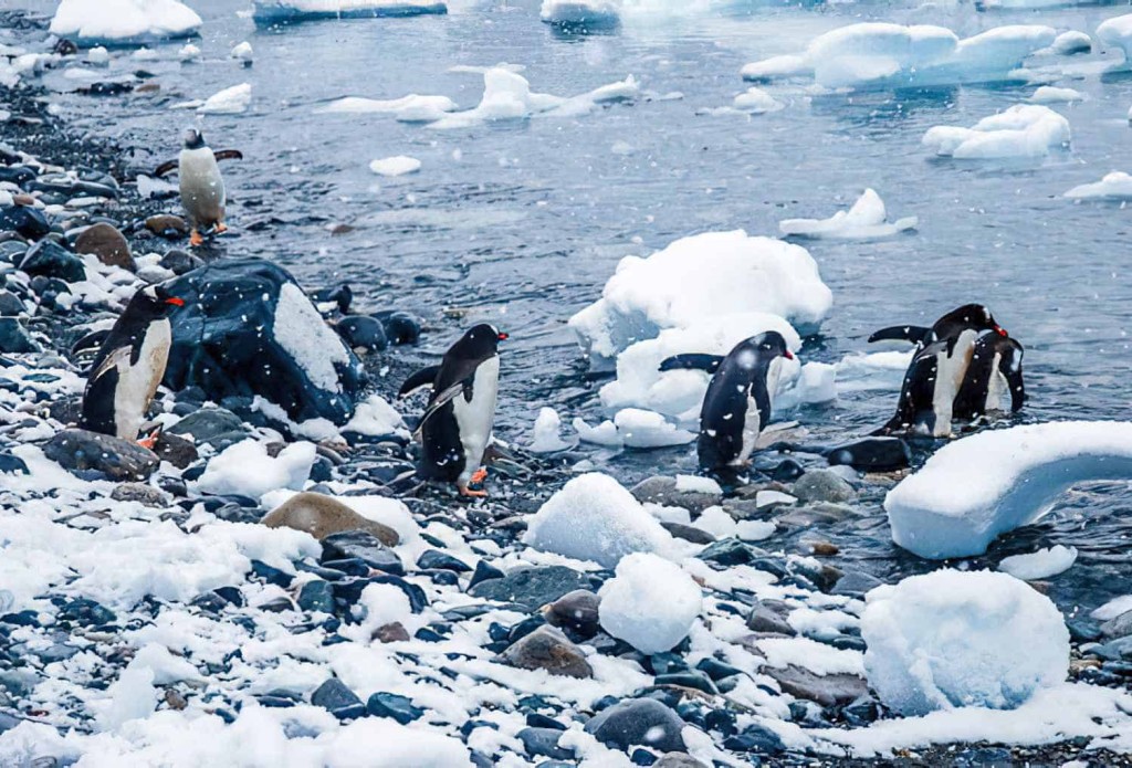
☑Yankee Harbor (Yankee Harbor) 62°32'S, 59°47' W:Located in the southwest of Greenwich Island, you can see abandoned Argentine refuge huts and large icebergs lining the coast along the harbor; on the stepped cliffs, you can see kintu penguins playing and the penguin's natural enemy skuas.
☑Half Moon Island (Half Moon Island) 62°35'S, 59°56' W:It is located 1,300 meters east of Livingston; the highest altitude is 101 meters, 1.9 kilometers long, 1.9 kilometers wide, and an area of 51 hectares; it is crescent-shaped with an edge of 1.5 miles long; whalers discovered this place in 1821; Argentina established the Antarctic Kamala Station research base on the island in 1955. It is an important habitat for chinstrap penguins and seagulls, and is surrounded by beautiful mountains.
☑King George Island (King George Island) 62°23'S, 58°27'W:The largest island in the South Shetland Islands; with beautiful scenery, it is not only a gathering place for seabirds, penguins, seals and other polar animals, but also the place with the highest density of scientific research stations in the Antarctic region. Today, there are scientific research bases from several countries on the South Shetland Islands, especially King George Island, which has 13 in total and is known as the "Global Village of Antarctica".
☑Deception Island (Fantasy Island) 62°58'S, 60°39'W:Also known as Decepcion Island, it is a sunken volcano. The crater is about 16 kilometers in diameter, approximately circular, and about 12 kilometers in diameter. It is 14.4 kilometers long, 12.2 kilometers wide, and covers an area of 136.9 square kilometers. The peak on the east side is 542 meters above sea level, and more than half of the island is covered with glaciers. The bay has a narrow entrance, only 230 meters wide, making it an excellent anchorage. There are still some factory remains where whales were slaughtered in the 19th century. Fantasy Island is also a magical island. The black hillside is painted black and white by permanent glaciers. At the foot of the mountain is a geothermal beach with hot springs. In the middle of the island is still the cold water of the Southern Ocean. From frigid glaciers to magical volcanoes, the mysterious Antarctic continent interprets ice and fire to the extreme.
OKSchedule:
Over the next two and a half days we will land in the South Shetland Islands(South Shetland Islands)。
The wildlife-rich South Shetland Islands are located in the northern part of Antarctica and are home to numerous penguins, seals and breeding seabirds. Scientific research stations from many countries are located on the island. The history of the South Shetland Islands can be traced back to the whaling era. Penguins and seals live together in close harmony on the beach. Aboard the Zodiac we have the opportunity to meet whales, seals and other marine life.
The captain and expedition leader will arrange landing and cruise activities based on actual conditions such as time, weather, ice conditions, etc. The activity arrangements will be selected from the following locations. The final route and landing cruise activities will be decided by the captain and expedition leader:
☑Yankee Harbor (Yankee Harbor) 62°32'S, 59°47' W:Located in the southwest of Greenwich Island, you can see abandoned Argentine refuge huts and large icebergs lining the coast along the harbor; on the stepped cliffs, you can see kintu penguins playing and the penguin's natural enemy skuas.
☑Half Moon Island (Half Moon Island) 62°35'S, 59°56' W:It is located 1,300 meters east of Livingston; the highest altitude is 101 meters, 1.9 kilometers long, 1.9 kilometers wide, and an area of 51 hectares; it is crescent-shaped with an edge of 1.5 miles long; whalers discovered this place in 1821; Argentina established the Antarctic Kamala Station research base on the island in 1955. It is an important habitat for chinstrap penguins and seagulls, and is surrounded by beautiful mountains.
☑King George Island (King George Island) 62°23'S, 58°27'W:The largest island in the South Shetland Islands; with beautiful scenery, it is not only a gathering place for seabirds, penguins, seals and other polar animals, but also the place with the highest density of scientific research stations in the Antarctic region. Today, there are scientific research bases from several countries on the South Shetland Islands, especially King George Island, which has 13 in total and is known as the "Global Village of Antarctica".
☑Deception Island (Fantasy Island) 62°58'S, 60°39'W:Also known as Decepcion Island, it is a sunken volcano. The crater is about 16 kilometers in diameter, approximately circular, and about 12 kilometers in diameter. It is 14.4 kilometers long, 12.2 kilometers wide, and covers an area of 136.9 square kilometers. The peak on the east side is 542 meters above sea level, and more than half of the island is covered with glaciers. The bay has a narrow entrance, only 230 meters wide, making it an excellent anchorage. There are still some factory remains where whales were slaughtered in the 19th century. Fantasy Island is also a magical island. The black hillside is painted black and white by permanent glaciers. At the foot of the mountain is a geothermal beach with hot springs. In the middle of the island is still the cold water of the Southern Ocean. From frigid glaciers to magical volcanoes, the mysterious Antarctic continent interprets ice and fire to the extreme.
OKSchedule:
Over the next two and a half days we will land in the South Shetland Islands(South Shetland Islands)。
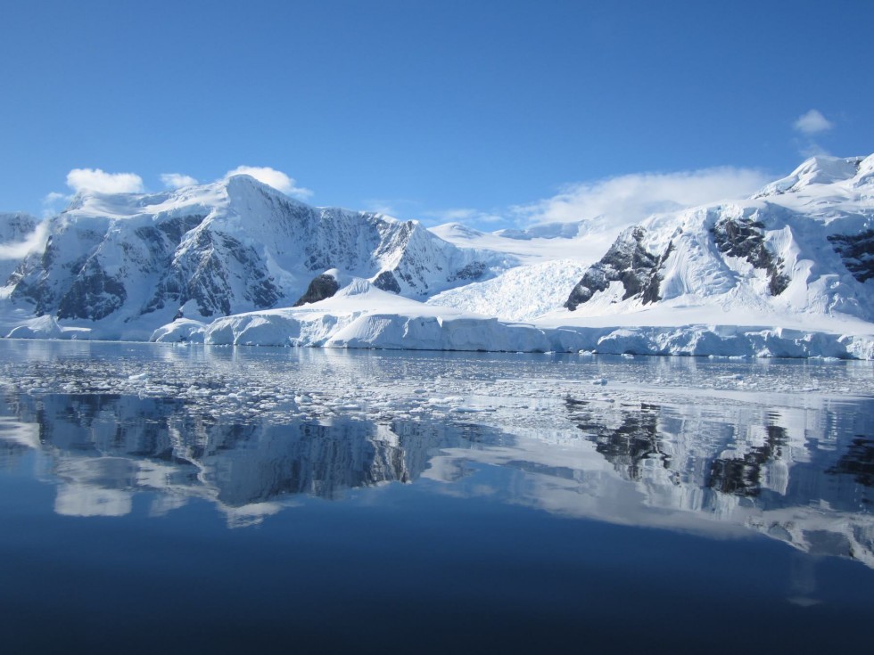
The wildlife-rich South Shetland Islands are located in the northern part of Antarctica and are home to numerous penguins, seals and breeding seabirds. Scientific research stations from many countries are located on the island. The history of the South Shetland Islands can be traced back to the whaling era. Penguins and seals live together in close harmony on the beach. Aboard the Zodiac we have the opportunity to meet whales, seals and other marine life.
The captain and expedition leader will arrange landing and cruise activities based on actual conditions such as time, weather, ice conditions, etc. The activity arrangements will be selected from the following locations. The final route and landing cruise activities will be decided by the captain and expedition leader:
☑Yankee Harbor (Yankee Harbor) 62°32'S, 59°47' W:Located in the southwest of Greenwich Island, you can see abandoned Argentine refuge huts and large icebergs lining the coast along the harbor; on the stepped cliffs, you can see kintu penguins playing and the penguin's natural enemy skuas.
☑Half Moon Island (Half Moon Island) 62°35'S, 59°56' W:It is located 1,300 meters east of Livingston; the highest altitude is 101 meters, 1.9 kilometers long, 1.9 kilometers wide, and an area of 51 hectares; it is crescent-shaped with an edge of 1.5 miles long; whalers discovered this place in 1821; Argentina established the Antarctic Kamala Station research base on the island in 1955. It is an important habitat for chinstrap penguins and seagulls, and is surrounded by beautiful mountains.
☑King George Island (King George Island) 62°23'S, 58°27'W:The largest island in the South Shetland Islands; with beautiful scenery, it is not only a gathering place for seabirds, penguins, seals and other polar animals, but also the place with the highest density of scientific research stations in the Antarctic region. Today, there are scientific research bases from several countries on the South Shetland Islands, especially King George Island, which has 13 in total and is known as the "Global Village of Antarctica".
☑Deception Island (Fantasy Island) 62°58'S, 60°39'W:Also known as Decepcion Island, it is a sunken volcano. The crater is about 16 kilometers in diameter, approximately circular, and about 12 kilometers in diameter. It is 14.4 kilometers long, 12.2 kilometers wide, and covers an area of 136.9 square kilometers. The peak on the east side is 542 meters above sea level, and more than half of the island is covered with glaciers. The bay has a narrow entrance, only 230 meters wide, making it an excellent anchorage. There are still some factory remains where whales were slaughtered in the 19th century. Fantasy Island is also a magical island. The black hillside is painted black and white by permanent glaciers. At the foot of the mountain is a geothermal beach with hot springs. In the middle of the island is still the cold water of the Southern Ocean. From frigid glaciers to magical volcanoes, the mysterious Antarctic continent interprets ice and fire to the extreme.
Itinerary:
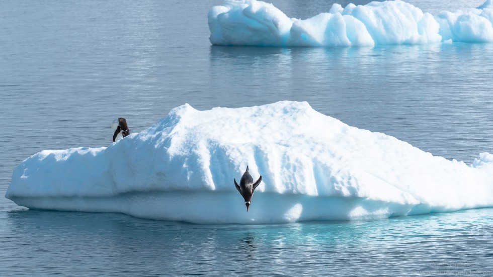
As the white light of Antarctica shines over our horizon, thousands of wildlife emerge, including many species of lively penguins, curious seals, nesting birds and roving marine mammals. Along our planned route, we saw large penguin colonies, lazy Weddell seals, humpback whales and killer whales feeding in the water, and various soaring birds. If weather conditions permit, "challenge ice swimming" will also be arranged.
The captain and expedition leader will arrange landing and cruise activities based on actual conditions such as time, weather, ice conditions, etc. The activity arrangements will be selected from the following locations. The final route and landing cruise activities will be decided by the captain and expedition leader:
☑Wilhelmina Bay (Wilhelmina Bay) 64°38'S, 62°10'W:Wilhelmina Bay is surrounded by towering mountains and deep glaciers on the Antarctic Peninsula, which makes people feel the magic and charm of ice and water; it was once a place frequented by whalers because it was a place where whales and seals ate.
☑Cuverville Island (Cuverville Island) 64°40'S, 62°37' W:The island is the largest colony of golden penguins (also known as gentoo penguins) on the Antarctic Peninsula; it is also a good place to watch giant petrels, blue-eyed cormorants, black-backed gulls, Antarctic gulls and skuas. The shallow waters around the island often cause ice floes to become grounded, forming spectacular icebergs. Cuverville Island is actually a black rocky island, and black reefs can be seen on the shore washed by the sea.
☑Danco Island (Danco Island) 64°44'S, 62°37' W:The trail is about 1.6 kilometers long. There are many habitats of gentoo penguins (also known as gentoo penguins), as well as different types of seabirds: white sheath-billed gulls, black-backed gulls and blue-faced cormorants.
☑Neko Harbor (Neko Harbor) 64°50'S, 62°33'W:Nickhamn is famous for its glaciers that often burst. Walking to the ridge of Andvord Bay (Anvord Bay), you can enjoy this magnificent landscape. The glacier front near the coastline can often be seen bursting into the sea. There are more than 300 pairs of golden penguins breeding and growing in Nicoport, and the ruins of the Argentinian refuge hut still remain. Weed seals are often seen napping and resting on the rocks on the shore near the landing site.
☑Brown Station (Brown Station) 64°53'S, 62°53'W:It was once a work station in Argentina and was overcrowded in the summer. Until 1984, the doctor who had been stationed at the station burned the work station with a fire because he could no longer endure the coming long winter. No one was injured in the fire, but the site has since been abandoned, save for a few emergency aid rooms stocked with supplies. What’s more interesting is that anyone can do skiing here. Climb up the only hillside, the top view is endless, and then ski directly down the mountain, which is endless fun.
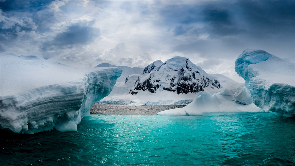
☑Paradise Bay (Paradise Bay) 64°52'S, 62°51'W:This is a beautiful fjord, surrounded by giant icebergs on three sides, with a majestic glacier about 10,000 feet high extending from the top of the mountain to the seaside. There is a research station in Argentina, where Gentoo penguins (also known as gentoo penguins) live. In Paradise Bay, you can climb a glacier that is gentle and white all year round. It is also a place where humpback whales often hang out. You can also climb a hill to get a bird's eye view of the entire bay. It is so quiet that you can hear your own breathing.
☑Port Lockroy (Port Lockroy) 64°49'S, 63°29' W:The majestic Neumayer from the cliffs on both sides Channel (Neumeyer Channel) passes through and you will come to the exciting Port Lockley; here is the only post office in Antarctica, where you can mail postcards with a unique commemorative stamp of your visit to Antarctica; this place has been converted into a small Antarctic museum, only open during the summer; it is also home to golden penguins and blue-eyed cormorants, and you can also see the historical relics of the whaling era; we can also visit the Palmer Research Station, which is a modern Antarctic research station in the United States.
☑Lamaire Channel (Lamaire Channel) 65°7'S, 64°00' W:The Limar Channel is a must-visit place in Antarctica; this channel, which is only 11,000 meters long and 1,600 meters wide, is one of the most beautiful channels in Antarctica. The ship's hull slides close to the cliffs, and you will understand the charm of Antarctica after you have been there. This majestic waterway also has a somewhat eerie atmosphere. It is charming, but always gives people a sense of fear. On a clear day, traveling on this mysterious waterway can be said to be a physical and mental enjoyment.
☑Gerlache Strait (Gerlache Strait) 64°30'S, 62°20'W:The Gerlasch Strait is one of the must-see cruises when visiting the Antarctic Peninsula; on both sides of the calm and narrow strait stand low peaks wrapped in white glaciers, and the water is dotted with ever-changing icebergs and ice floes. The scenery here is magical, and you can't help but marvel at the miraculous craftsmanship of nature while sailing. Gerlache was a Belgian naval officer who led a team to explore the south from Chilean Patagonia on December 14, 1897. In February of the following year, he discovered the strait now named after him, as well as many places and islands named after his companions. Unexpectedly, starting from February 16, the "Belgium" that had sailed to 7131' south latitude was seized by early autumn ice floes and was embedded in the frozen sea for 377 days before it could escape. This is the first adventure team in human history to spend the winter in Antarctica and luckily escape.
Itinerary:
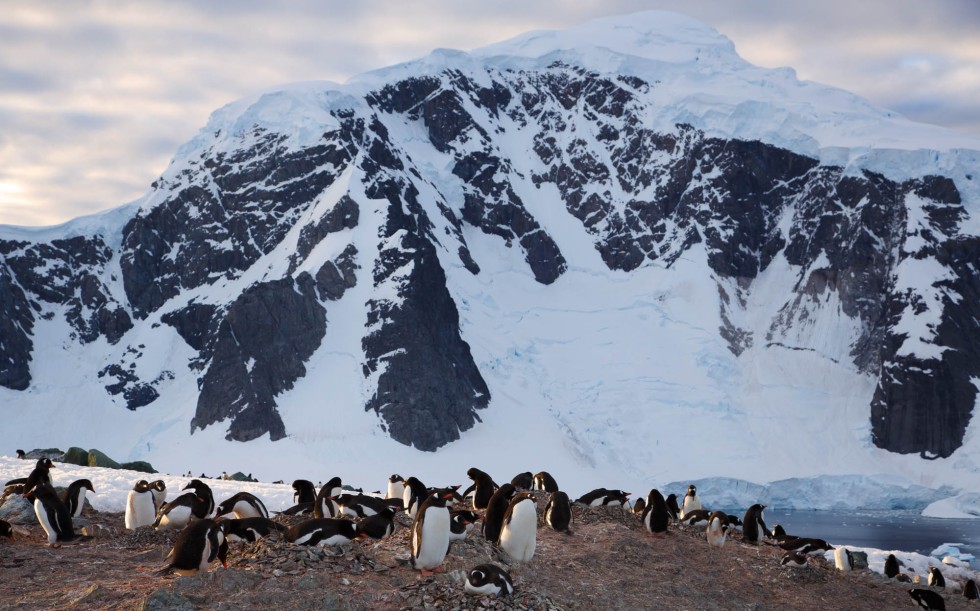
As the white light of Antarctica shines over our horizon, thousands of wildlife emerge, including many species of lively penguins, curious seals, nesting birds and roving marine mammals. Along our planned route, we saw large penguin colonies, lazy Weddell seals, humpback whales and killer whales feeding in the water, and various soaring birds. If weather conditions permit, "challenge ice swimming" will also be arranged.
The captain and expedition leader will arrange landing and cruise activities based on actual conditions such as time, weather, ice conditions, etc. The activity arrangements will be selected from the following locations. The final route and landing cruise activities will be decided by the captain and expedition leader:
☑Wilhelmina Bay (Wilhelmina Bay) 64°38'S, 62°10'W:Wilhelmina Bay is surrounded by towering mountains and deep glaciers on the Antarctic Peninsula, which makes people feel the magic and charm of ice and water; it was once a place frequented by whalers because it was a place where whales and seals ate.
☑Cuverville Island (Cuverville Island) 64°40'S, 62°37' W:The island is the largest colony of golden penguins (also known as gentoo penguins) on the Antarctic Peninsula; it is also a good place to watch giant petrels, blue-eyed cormorants, black-backed gulls, Antarctic gulls and skuas. The shallow waters around the island often cause ice floes to become grounded, forming spectacular icebergs. Cuverville Island is actually a black rocky island, and black reefs can be seen on the shore washed by the sea.
☑Danco Island (Danco Island) 64°44'S, 62°37' W:The trail is about 1.6 kilometers long. There are many habitats of gentoo penguins (also known as gentoo penguins), as well as different types of seabirds: white sheath-billed gulls, black-backed gulls and blue-faced cormorants.
☑Neko Harbor (Neko Harbor) 64°50'S, 62°33'W:Nickhamn is famous for its glaciers that often burst. Walking to the ridge of Andvord Bay (Anvord Bay), you can enjoy this magnificent landscape. The glacier front near the coastline can often be seen bursting into the sea. There are more than 300 pairs of golden penguins breeding and growing in Nicoport, and the ruins of the Argentinian refuge hut still remain. Weed seals are often seen napping and resting on the rocks on the shore near the landing site.
☑Brown Station (Brown Station) 64°53'S, 62°53'W:It was once a work station in Argentina and was overcrowded in the summer. Until 1984, the doctor who had been stationed at the station burned the work station with a fire because he could no longer endure the coming long winter. No one was injured in the fire, but the site has since been abandoned, save for a few emergency aid rooms stocked with supplies. What’s more interesting is that anyone can do skiing here. Climb up the only hillside, the top view is endless, and then ski directly down the mountain, which is endless fun.
☑Paradise Bay (Paradise Bay) 64°52'S, 62°51'W:This is a beautiful fjord, surrounded by giant icebergs on three sides, with a majestic glacier about 10,000 feet high extending from the top of the mountain to the seaside. There is a research station in Argentina, where Gentoo penguins (also known as gentoo penguins) live. In Paradise Bay, you can climb a glacier that is gentle and white all year round. It is also a place where humpback whales often hang out. You can also climb a hill to get a bird's eye view of the entire bay. It is so quiet that you can hear your own breathing.
☑Port Lockroy (Port Lockroy) 64°49'S, 63°29' W:The majestic Neumayer from the cliffs on both sides Channel (Neumeyer Channel) passes through and you will come to the exciting Port Lockley; here is the only post office in Antarctica, where you can mail postcards with a unique commemorative stamp of your visit to Antarctica; this place has been converted into a small Antarctic museum, only open during the summer; it is also home to golden penguins and blue-eyed cormorants, and you can also see the historical relics of the whaling era; we can also visit the Palmer Research Station, which is a modern Antarctic research station in the United States.
☑Lamaire Channel (Lamaire Channel) 65°7'S, 64°00' W:The Limar Channel is a must-visit place in Antarctica; this channel, which is only 11,000 meters long and 1,600 meters wide, is one of the most beautiful channels in Antarctica. The ship's hull slides close to the cliffs, and you will understand the charm of Antarctica after you have been there. This majestic waterway also has a somewhat eerie atmosphere. It is charming, but always gives people a sense of fear. On a clear day, traveling on this mysterious waterway can be said to be a physical and mental enjoyment.
☑Gerlache Strait (Gerlache Strait) 64°30'S, 62°20'W:The Gerlasch Strait is one of the must-see cruises when visiting the Antarctic Peninsula; on both sides of the calm and narrow strait stand low peaks wrapped in white glaciers, and the water is dotted with ever-changing icebergs and ice floes. The scenery here is magical, and you can't help but marvel at the miraculous craftsmanship of nature while sailing. Gerlache was a Belgian naval officer who led a team to explore the south from Chilean Patagonia on December 14, 1897. In February of the following year, he discovered the strait now named after him, as well as many places and islands named after his companions. Unexpectedly, starting from February 16, the "Belgium" that had sailed to 7131' south latitude was seized by early autumn ice floes and was embedded in the frozen sea for 377 days before it could escape. This is the first adventure team in human history to spend the winter in Antarctica and luckily escape.
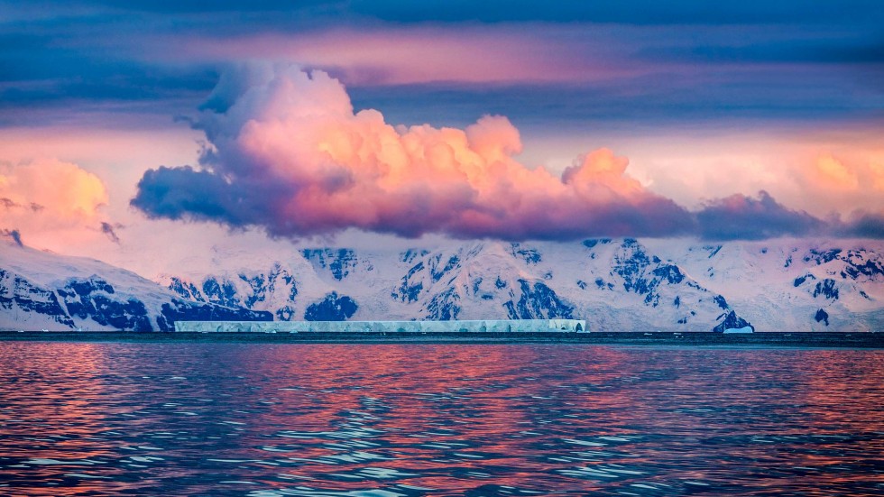
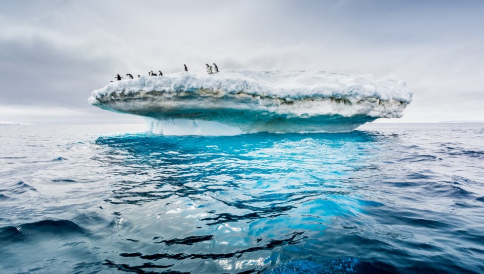
The cruise ship sails north, returning to the hustle and bustle of the world with full of memories and unique experiences; passing through the Drake Passage, it slowly advances towards Ushuaia; if you missed the wonders when you arrived, you will also have the opportunity to visit the "Devil's Fjord" again, so hurry up and seize the opportunity to take photos on the ship with your companions to capture that memorable moment.
The cruise ship sails north, returning to the hustle and bustle of the world with full of memories and unique experiences; passing through the Drake Passage, it slowly advances towards Ushuaia; if you missed the wonders when you arrived, you will also have the opportunity to visit the "Devil's Fjord" again, so hurry up and seize the opportunity to take photos on the ship with your companions to capture that memorable moment.
Itinerary:
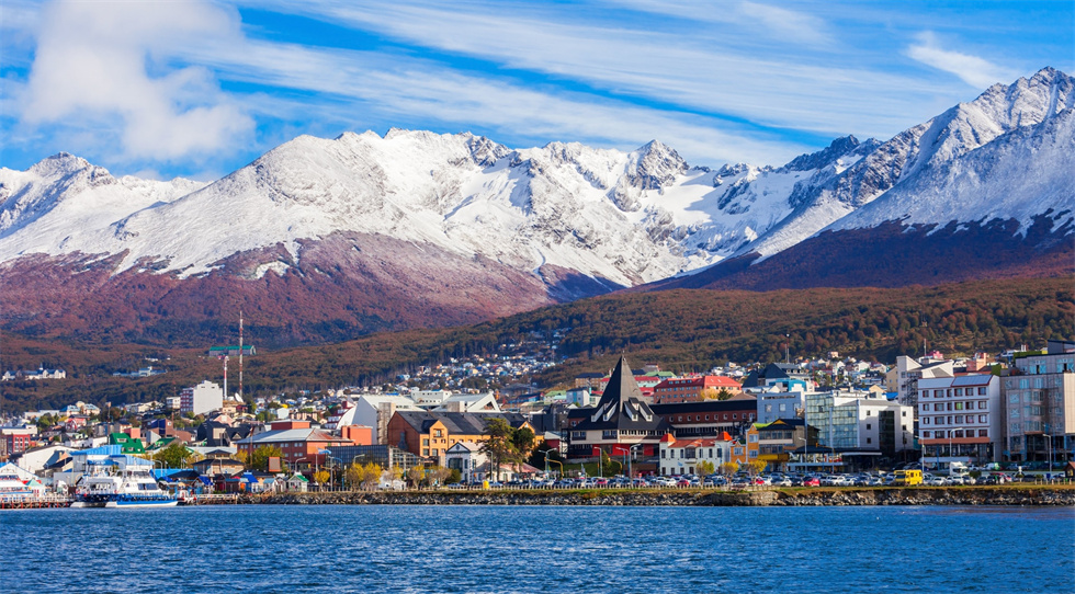
In the early morning, the Ocean Albatros docks at the port of Ushuaia. You will say goodbye to the entire crew and expedition team, ending an unforgettable trip to Antarctica.


